AERIAL PICTURES
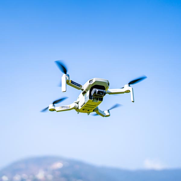
Humans are visual creatures, and nothing gives you the lay of the land quite like a bird’s eye view. Our licensed drone technicians gather our aerial pictures and provide you with a multi-angle understanding of the property in a way that CG graphics or ground-level photography can’t even touch.
For residential, commercial, or industrial properties, you can use our aerial pictures as a support measure to help clarify any claimant suit or presentation. We use advanced drones with high resolutions to provide you with aerial images ( satellite images ).

